Drone Inspection Software: Optimize Asset Management
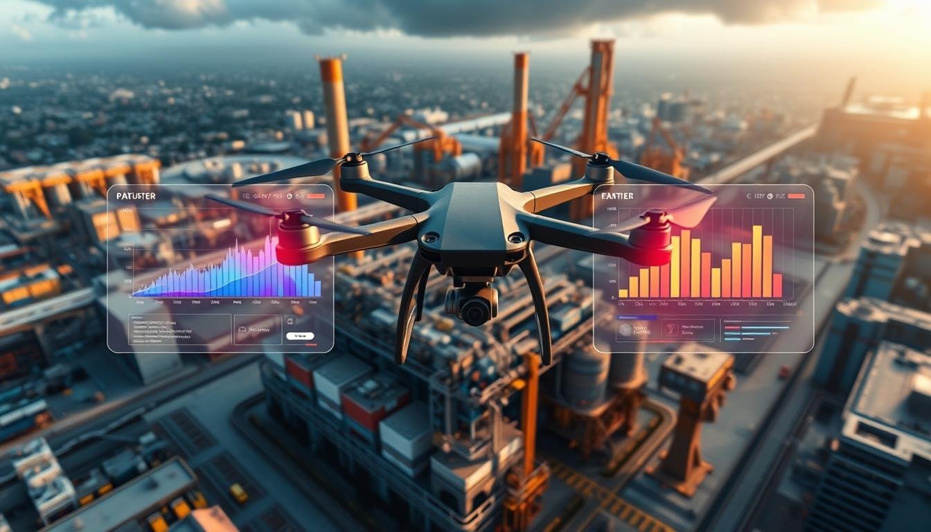
Drone inspection software is changing asset management. It makes it safer, more efficient, and cost-effective. Companies are gaining valuable insights and optimizing their strategies with this technology.
This software uses unmanned aerial vehicles (UAVs) and advanced data analysis. It allows businesses to conduct thorough aerial inspections of their assets. High-resolution images and detailed data are collected and integrated into existing workflows.
Manual inspections and data silos are no longer needed. This streamlines the process, saving time and money. Overall efficiency is greatly enhanced.
A key advantage is the centralized platform for managing drone data. It features AI-powered analysis, intuitive data organization, and collaboration tools. Teams can easily access and share critical information.
This leads to better decision-making and faster problem-solving. Businesses can identify issues, monitor asset health, and plan maintenance more effectively. It allows for a proactive approach to asset management.
Key Takeaways
- Drone inspection software integrates UAV data with asset management workflows, delivering valuable insights and cost savings.
- Automated AI-powered analysis and intuitive data organization streamline the inspection process and improve efficiency.
- Centralized collaboration tools enable teams to easily access and share critical information for better decision-making.
- Drone inspection software is applicable across various industries, including utilities, construction, and agriculture.
- By adopting drone inspection software, businesses can optimize asset management, enhance safety, and reduce costs.
The Rise of Drone Inspection Software in Asset Management
Utility companies are shifting to drone inspections for asset management. The Utility Analytics Week 2024 highlighted advancements in operations, data analytics, and technology. Drone inspections and AI were key topics at the event.
Drones have revolutionized asset inspections, making them faster and more efficient. They can cover large areas quickly, replacing time-consuming traditional methods. This technology meets the growing need for scalable and reliable inspection methods.
The FAA strictly regulates commercial drone use for utility inspections. Despite this, the industry has seen impressive results. Duke Energy used drones and AI to predict network failures, improving resource allocation.
Utilities using drones and AI for inspections have increased efficiency. They can inspect more assets more frequently. This leads to more accurate, up-to-date information about grid conditions.
Drones with advanced cameras and sensors gather real-time, high-quality data. Cyberhawk™, a leader in drone inspections, reported 55 percent revenue growth in 2024. They reached $28.7 million and doubled licenses for their iHawk™ software.
Cyberhawk’s growth shows increasing acceptance of drone inspections. Aerial robots with advanced features can navigate complex environments independently. This reduces the need for human intervention and enhances efficiency.
Drones capture high-quality data in various conditions. They work well in challenging environments with unreliable GPS. This makes them valuable for utility inspections.
Drone software integrates with photogrammetry tools like Pix4Dmatic or Bentley Systems ContextCapture. This allows for immediate data analysis and quicker decision-making. The utility sector’s future looks more efficient, safe, and cost-effective with drone technology.
Key Features of Effective Drone Inspection Software
Drone inspection software revolutionizes asset management. It offers a central platform for protecting and monitoring critical infrastructure. Advanced technologies like 3D modeling and aerial data collection streamline inspections and provide valuable insights.
Data Management and Organization
Top-tier drone inspection software efficiently manages vast amounts of data. Intuitive interfaces and robust systems process, analyze, and store critical information. This ensures a single source of truth for asset management decisions.
Automated AI-Powered Analysis
Cutting-edge software uses AI and machine learning to automate analysis. It processes data from various sensors like high-resolution cameras and thermal imaging. The system quickly identifies potential issues, enabling proactive maintenance and risk mitigation.
Drones with thermal cameras, like the Flyability Elios, detect heat variances. These can indicate insulation breakdowns or electrical problems. Multispectral cameras, such as those in the Parrot ANAFI, assess plant health and water stress levels.
Collaboration and Sharing Capabilities
Effective software promotes collaboration and seamless data sharing among stakeholders. Secure cloud-based platforms allow easy access to inspection data. Teams can annotate and share information, fostering better communication and decision-making across the organization.
| Software | Key Features | Benefits |
|---|---|---|
| Optelos | AI-powered diagnostic tools, 3D modeling | Comprehensive inspections, predictive maintenance |
| Hepta Insights | Automated defect detection, data management | Improved efficiency, reduced manual effort |
| Airpelago Power | Specialized powerline inspection features | Enhanced safety, precise issue identification |
Drone inspection software combines data management, AI analysis, and collaboration features. It empowers organizations to optimize asset management strategies. This technology improves safety, reduces costs, and enables data-driven decisions for long-term success.
Benefits of Implementing Drone Inspection Software
Drone inspection software offers many benefits for companies. It enhances safety, increases efficiency, and provides valuable insights through advanced structural analysis. Infrastructure inspection drones optimize asset management strategies.
Improved Safety and Efficiency
Drone inspection software greatly improves safety and efficiency. It reduces the need for workers to access dangerous areas. Drones with high-quality cameras capture detailed images of even the smallest defects.
Drone inspections are much faster than manual ones. They can inspect narrowbody aircraft in 45-60 minutes and widebody aircraft in 2-3 hours. This speed allows companies to cover more ground without sacrificing quality.
Cost Savings and ROI
Using drone inspection software can lead to big cost savings. It eliminates the need for extra equipment like scaffolding. More frequent inspections allow for proactive maintenance, reducing repair costs.
The software provides detailed reports with high-quality images and videos. This helps plan repairs and file insurance claims efficiently. It also allows companies to track asset conditions over time.
Enhanced Data Accuracy and Insights
Drone inspection software offers improved data accuracy and valuable insights. It uses AI and machine learning to analyze every part of an asset’s surface. The software can identify patterns and anomalies that show damage or defects.
AI-powered inspections are more accurate than manual ones. The software can filter out unimportant findings and highlight areas of concern. It can tag various defects with high precision for different types of inspections.
Companies can better understand their assets’ condition using this software. It enables data-driven decisions and proactive maintenance strategies. This leads to improved asset management and increased operational efficiency.
Drone Inspection Software Use Cases
Drone inspection software has transformed asset management across industries. It allows for efficient monitoring, analysis, and maintenance of critical infrastructure. This technology has become crucial for optimizing operations and ensuring asset longevity.
Utilities and Energy Sector
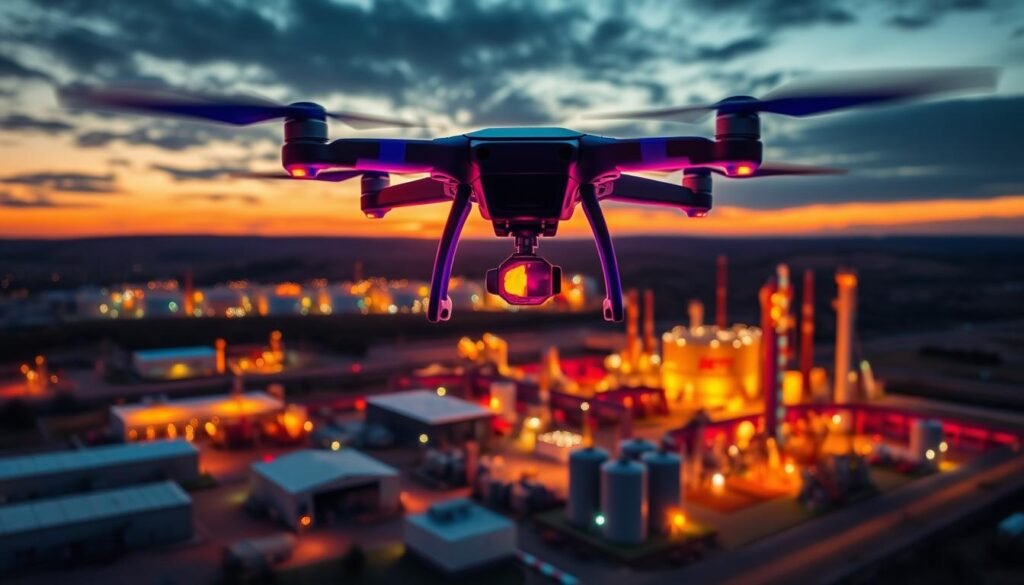
In utilities and energy, drone software quickly spots degrading asset conditions. It automates trouble ticketing and streamlines dispatch processes. Advanced sensors detect leaks, corrosion, and anomalies in pipelines, power lines, and wind turbines.
Automated defect detection and thermal imaging help utility providers address potential issues proactively. This approach minimizes downtime and boosts overall organizational productivity. It ensures the integrity and reliability of energy infrastructure.
Construction and Infrastructure
Construction relies on accurate, timely data for planning, monitoring, and quality control. Drone software, powered by photogrammetry, enables precise measurements and detailed site analysis. It captures high-resolution aerial imagery and generates 3D models of construction sites.
This technology provides comprehensive insights into project progress and identifies potential risks. It allows stakeholders to make data-driven decisions. Drones also perform regular inspections of bridges, roads, and buildings.
Agriculture and Environmental Monitoring
Drone software is vital in agriculture and environmental monitoring. It helps farmers and researchers gather data on crop health, soil conditions, and vegetation. Multispectral imaging and analytics detect crop stress and optimize irrigation practices.
In environmental monitoring, drones assess forest health and track wildlife populations. They can spot encroachment or illegal activities. This technology supports conservation efforts and sustainable land management practices.
| Drone Inspection Use Case | Key Benefits |
|---|---|
| Utilities and Energy |
|
| Construction and Infrastructure |
|
| Agriculture and Environmental Monitoring |
|
Integrating Drone Inspection Software with Existing Systems
Integrating drone inspection software with existing systems is crucial for efficient asset management. Top drone makers offer software with open APIs. These APIs allow smooth integration into an organization’s digital ecosystem.
This integration enables quick data sharing among stakeholders. It also facilitates rapid information exchange between users across the organization.
Combining drone software with ticketing systems automates corrective actions. When a fault is detected, it generates a ticket automatically. The ticket is then assigned to the right team for quick resolution.
This process eliminates manual steps and speeds up response times. It ensures swift action to address issues and maintain asset integrity.
Precise fault location is key in drone inspection software integration. Drones from DJI and Autel Robotics use GPS to pinpoint fault locations. This data can be transferred to GIS or asset management systems.
Field teams can quickly find and fix issues using this information. It minimizes downtime and boosts overall efficiency in asset management.
“The integration of drone inspection software with existing systems is a game-changer for asset management. It enables organizations to harness the full potential of drone technology and make data-driven decisions.”
For successful integration, work closely with drone software providers like Parrot and Skydio. They offer comprehensive support throughout the process. These providers ensure compatibility and provide necessary customizations.
Integrating drone software unlocks the true value of this technology. It streamlines workflows and improves efficiency in asset management. Ultimately, it leads to better asset performance and lower maintenance costs.
Choosing the Right Drone Inspection Software
Drones are increasingly used for aerial data collection and asset management. Selecting the best drone inspection software is vital. Consider key factors that match your industry needs and operational requirements.
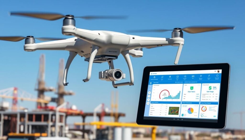
Look for software with strong data management capabilities. This ensures efficient organization and easy access to captured data. AI-powered analysis can streamline the process by identifying issues automatically.
Collaboration tools are crucial for smooth communication. They help team members and stakeholders share information easily.
Key Considerations and Factors
To make a smart choice, consider these factors:
- Compatibility with your existing drone fleet and hardware
- Ease of use and intuitive user interface
- Scalability to accommodate future growth and expansion
- Integration with other software systems and platforms
- Customer support and training resources
Top Drone Inspection Software Providers
Pix4D and DroneDeploy are leading drone inspection software options. Pix4D excels in creating detailed maps and models. DroneDeploy offers a user-friendly, cloud-based solution with seamless integration.
Other notable providers include:
| Provider | Key Features | Industries Served |
|---|---|---|
| ESRI Drone2Map | GIS integration, advanced analytics | Government, utilities, environmental |
| DJI Terra | Precise mapping, DJI ecosystem integration | Construction, agriculture, surveying |
| Litchi | Cost-effective, mission planning | Hobbyists, professionals |
Evaluate your specific needs carefully. Explore top drone inspection software providers’ capabilities. This will help you maximize aerial data collection and improve asset management strategies.
Best Practices for Implementing Drone Inspection Software
Drone inspection software can greatly improve asset management. Top UAV mapping solutions offer automated flight planning, data processing, and AI-powered analysis. Research thoroughly to choose the right platform for your needs.
Set clear objectives before implementing the software. Define inspection scope, identify target assets, and determine required data outputs. Involve all stakeholders to ensure alignment with organizational goals.
Proper training is crucial for successful implementation. Certify drone pilots and train them on the specific software. Develop standard operating procedures for flight planning and data capture.
Regular refresher training helps maintain proficiency. It also allows adaptation to new technologies. This ensures continuous improvement in drone inspection processes.
| Best Practice | Description |
|---|---|
| Define clear objectives | Establish specific goals and desired outcomes for drone inspections |
| Select the right software | Choose software that meets your needs and integrates with existing systems |
| Train personnel | Provide comprehensive training on drone operation and software usage |
| Establish data management protocols | Develop processes for data capture, storage, analysis, and sharing |
| Ensure regulatory compliance | Adhere to local and federal regulations governing drone operations |
Data management is vital for effective drone inspections. Create protocols for capturing, storing, processing, and sharing data. Decide how to analyze data and integrate it into asset management systems.
Implement strong data security measures and access controls. This protects sensitive information and ensures compliance with privacy regulations. It’s crucial for maintaining data integrity.
By following best practices and selecting the right drone inspection software, organizations can harness the power of aerial data to optimize asset management, improve safety, and drive operational efficiency.
Overcoming Challenges in Drone Inspection Software Adoption
Organizations are discovering the benefits of drone inspection software for asset management. However, they face challenges in adopting this technology. Regulatory compliance and data security are two major hurdles.
Drone operations must follow complex local and federal regulations. Companies need to obtain certifications, which can be time-consuming and expensive. Yet, the advantages of automated defect detection often outweigh these initial obstacles.
Regulatory Compliance and Certifications
To tackle regulatory issues, team up with experienced drone service providers. They can help obtain certifications and ensure compliance. Investing in staff training builds in-house expertise and simplifies the process.
Data Security and Privacy Concerns
Drone inspections produce large amounts of sensitive data. This information needs protection from unauthorized access and breaches. Organizations should use strong security measures like encryption and access controls.
Clear data handling guidelines are crucial. They help maintain the confidentiality of collected information. Secure data storage protocols are also essential.
| Challenge | Solution |
|---|---|
| Regulatory compliance | Partner with experienced drone service providers, invest in staff training |
| Data security and privacy | Implement robust security measures, establish clear data handling guidelines |
The benefits of drone inspection software are significant, despite these challenges. Infrastructure managers using DiaB systems can monitor 42 asset types, covering various structures such as bridges, dams, and power facilities.
Automated docked drone systems improve inspection efficiency and safety. They eliminate the need for human intervention. As the technology evolves, more success stories will emerge.
Organizations will find it easier to overcome adoption challenges. They’ll soon reap the rewards of this game-changing technology.
The Future of Drone Inspection Software
Drone inspection software is rapidly evolving. Advancements in autonomous drones, computer vision, and AI are expanding their capabilities. AR and VR will transform data analysis, changing how we monitor assets.
Emerging Trends and Innovations
The Voliro T Version 5 drone showcases innovation in inspection software. It’s been used in wind farms, oil refineries, and remote industrial facilities. The latest version offers improved stability, reliability, and ease of use.
Voliro drones now measure material thickness, paint thickness, and corrosion under insulation. A 5G module enables real-time data transfer to and from the Voliro Cloud. This allows for health monitoring, proactive maintenance, and seamless software upgrades.
Potential Impact on Asset Management Strategies
Future drone inspection software will optimize asset management strategies. It leverages advanced technologies to achieve cost savings, improved efficiency, and enhanced safety. Drones used for parcel delivery emit 84% less greenhouse gas than diesel trucks.
| Industry | Drone Inspection Software Benefit |
|---|---|
| Agriculture | Early disease detection, precision farming, boosted yields |
| Construction | Reduced costs, improved safety, efficient project management |
| Energy | Streamlined asset monitoring, predictive maintenance, reduced downtime |
Drone inspection software’s impact on industries will continue to grow. Organizations can gain efficiency, safety, and cost-effectiveness by embracing these technologies. Incorporating them into asset management strategies helps companies stay competitive.
Real-World Success Stories: Drone Inspection Software in Action
Drone inspection software has transformed asset management across industries. It offers major benefits and changes traditional inspection methods. These innovative solutions improve efficiency, safety, and cost savings.
In wind energy, drones with advanced sensors have improved wind turbine inspections. Orsted used drones to inspect 40% more of a turbine blade. They cut inspection time in half with the Elios 2 drone.
Construction firms have also seen success with drone inspections. Keltbray doubled inspection efficiency and cut carbon emissions by half. Drones eliminated risks for workers who no longer climb towers during inspections.
Utilities have revolutionized power line and tower inspections with drones. P1 cameras and L1 LiDAR sensors improved mission planning. H20T thermal cameras detect defects early, preventing outages.
Drone inspections cut transmission tower inspection time by 50%. They also remove safety risks linked to manual inspections.
| Industry | Success Metric | Improvement |
|---|---|---|
| Wind Energy | Blade Inspection Coverage | 40% increase |
| Construction | Inspection Efficiency | 100% increase |
| Utilities | Inspection Time Reduction | Up to 50% |
Drone data analysis offers more than just individual inspection benefits. It helps predict issues and improve maintenance schedules. AI-equipped drones can inspect assets on their own, reducing risks and downtime.
Drone mapping software and drone photogrammetry create precise 3D models. These models help detect and measure defects accurately.
The integration of drone inspection software has transformed asset management, empowering organizations to make data-driven decisions and optimize their operations.
Conclusion: Optimizing Asset Management with Drone Inspection Software
Drone inspection software is transforming asset management across industries. It uses unmanned aircraft, survey software, and 3D modeling to improve efficiency and safety. This technology is crucial for maintaining aging infrastructure and addressing weather-related power outages.
The utility industry benefits greatly from drone inspection software. It helps bridge the workforce gap as many employees approach retirement. AI-powered analysis, like computer vision models, enhances human expertise for proactive maintenance.
The oil and gas sector already uses drones for inspections. This approach reduces risks and cuts operational costs. As the global drone market grows, integrating this software with existing systems becomes vital.
Organizations must consider data management and collaboration when choosing a solution. Compatibility with current workflows is also important. Implementing best practices and addressing regulatory compliance are key to success.
The future of asset management relies on integrating advanced technologies like drone inspection software. Companies that adopt these tools will improve efficiency and gain a competitive edge. Real-world success stories show the transformative power of this technology across industries.
