Professional Drone Mapping Services for Your Business
Businesses are using drone mapping to make smarter choices. This tech gathers key data from above, changing how companies work. It’s a game-changer for collecting and studying land info.
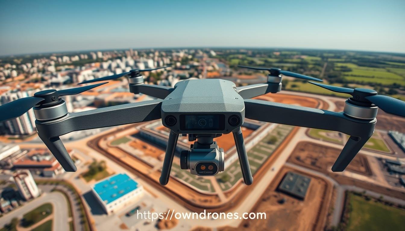
High-tech drones with top sensors map areas from the sky. They create 3D models and gather data for many fields. Farms, builders, miners, and energy firms all benefit from this aerial view.
Drone mapping beats old survey methods in speed and cost. It’s safe and covers huge areas fast. Some drones can map 500-750 acres daily in open spaces.
The data from drones is super precise. It helps companies make better choices. Drones scan and record thousands of measurements, giving exact land details.
Key Takeaways
- Professional drone mapping services provide accurate aerial surveys, 3D modeling, and terrain analysis for various industries
- Drones equipped with LiDAR technology can cover up to 500-750 acres in a day, showcasing their speed advantage over traditional methods
- Drone mapping services offer improved safety by eliminating the need to send teams to dangerous terrain
- The data collected by drones is highly accurate and detailed, enabling businesses to make informed decisions
- Drone mapping provides cost savings by capturing data quickly and safely, reducing manual labor costs
The Power of Drone Technology in Mapping and Surveying
Drone technology has transformed mapping and surveying. It offers faster, safer, and cheaper solutions than traditional methods. Drones with high-res cameras and sensors can quickly map large areas.
These devices capture detailed imagery for various uses. They’re great for precision agriculture, construction monitoring, and infrastructure inspection. Drones have cut the cost of making 3D maps while speeding up the process.
Drone mapping is the top drone application globally. Many industries use drone survey data. These include surveying, mining, agriculture, urban planning, and construction.
Drones with LiDAR tech provide centimeter-level accuracy. Survey-grade accuracy typically means 10cm or less absolute accuracy. LiDAR drone surveys offer many benefits.
These include high-accuracy data and improved safety. They can access hard-to-reach sites and capture 3D data. LiDAR drones can map forest structure and save significant costs.
| Drone Mapping Technology | Applications |
|---|---|
| LiDAR | Precise topographical details, flood modeling, infrastructure planning |
| Photogrammetry | Visualizing landscapes, monitoring changes in agriculture and urban planning |
| Orthomosaic Maps | Land surveying, agriculture |
| Digital Elevation Models (DEMs) | Flood risk assessment, land use planning, geological studies |
| Digital Surface Models (DSMs) | Urban planning, telecommunications, solar energy potential mapping |
| Thermal Maps | Identifying heat loss in buildings, monitoring water stress in crops, tracking wildlife populations |
| NDVI Maps | Monitoring crop health, evaluating vegetation coverage, detecting stressed vegetation in urban planning |
| Volumetric Maps | Stockpile management, landfill volume estimation, erosion monitoring |
Drone tech advancements have sparked interest across industries. This drives awareness and adoption of drone-based solutions. Tech improvements boost efficiency and accuracy in data collection.
The future of surveying and mapping with drones looks bright. These tools will continue to reshape how we gather and use spatial data.
LiDAR and Photogrammetry: Revolutionizing Geospatial Data Acquisition
LiDAR and photogrammetry are transforming drone mapping services. These advanced techniques capture precise measurements and create detailed 3D maps. They’re changing how industries approach mapping and surveying projects.
What is LiDAR and How Does it Work?
LiDAR uses laser pulses to measure distances and create point clouds. It emits rapid laser pulses and measures the light’s return time. This creates precise 3D models of landscapes and structures.
LiDAR is vital in construction, infrastructure management, archaeology, and environmental monitoring. It generates dense point clouds with precise coordinates and additional information.
These point clouds create Digital Elevation Models and Bare Earth Models. They show Earth’s surface features with incredible accuracy.
- Topographic LiDAR for land-based surveys
- Bathymetric LiDAR for mapping submerged environments
- Mobile LiDAR for faster mapping from vehicles or drones
- Terrestrial LiDAR for ground-based data capture
- Flash LiDAR for rapid 3D image generation
Photogrammetry: Creating 3D Models from Aerial Images
Photogrammetry captures overlapping aerial images to generate 3D models. It analyzes parallax between images taken from different angles. This reconstructs the scene’s geometry, creating detailed point clouds and textured 3D models.
| Technology | Accuracy | Point Cloud Density | Visual Details | Cost |
|---|---|---|---|---|
| LiDAR | Sub-centimeter level | Very high | Moderate | High |
| Photogrammetry | High, slightly impacted by image quality | Moderate to high | Excellent texture and color | Lower |
LiDAR excels in capturing fine details and generating dense point clouds. Photogrammetry offers a cost-effective solution with excellent visual aesthetics. Both technologies have wide-ranging applications across various industries.
These include environmental monitoring, urban planning, archaeology, and 3D modeling. Infrastructure planning and forest inventory also benefit from these technologies.
Drone mapping services use LiDAR and photogrammetry to revolutionize geospatial data acquisition. This enables businesses to make informed decisions based on accurate, up-to-date information.
Industries Benefiting from Drone Mapping Services
Drone technology has transformed various industries, offering new insights and boosting efficiency. These flying devices provide valuable data for agriculture, construction, mining, and energy sectors. Businesses use drone mapping to optimize operations and make smart choices.
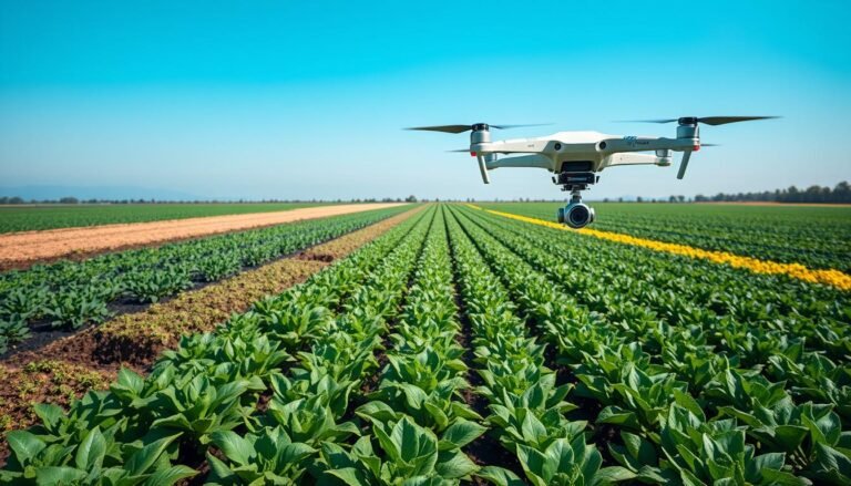
Drones have revolutionized farming through precision agriculture. They capture detailed aerial images to monitor crop health and spot pest issues. This approach leads to better yields, less waste, and more sustainable farming practices.
Construction: Site Inspection and As-Built Analysis
Drones have changed how construction sites are monitored. They offer real-time analysis of building stages, helping managers spot problems early. Thermal imaging from drones can detect structural flaws, ensuring building safety.
Mining: Unraveling Underground Potential
Drone mapping has transformed mining exploration and assessment. It creates detailed 3D models of mining sites to find mineral-rich areas. This tech improves efficiency and reduces environmental impact in mining operations.
Oil and Energy: Ensuring Safety and Efficiency
The energy sector uses drones for infrastructure checks and environmental monitoring. These devices can spot leaks, check pipeline health, and assess offshore platforms. Remote monitoring saves time and keeps workers safer.
Drones have become an indispensable tool for businesses across various industries, providing valuable insights and enhancing operational efficiency.
Drones also help with environmental monitoring and wildlife conservation. They quickly survey large areas to gather high-quality data. This ability is crucial for assessing natural disasters and tracking animal populations.
Drone technology keeps improving with better navigation and AI. Its potential uses in mapping services are endless. Companies that use this tech will make smarter choices and stay ahead in the digital world.
Advantages of Employing Professional Drone Mapping Services
Drone technology has changed how businesses approach mapping and surveying. Professional drone mapping services offer many advantages over traditional methods. They are becoming a popular choice for companies looking to improve their operations.
Improved Safety for Surveyors and Workers
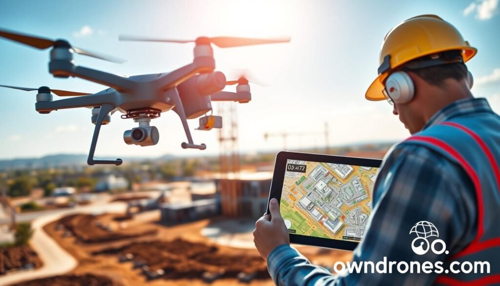
Drone mapping services greatly enhance safety. Surveyors no longer need to access dangerous areas, reducing accident risks. A report by AUVSI predicts drone technology will create over 70,000 new jobs.
This adoption will also contribute to a safer work environment. Drones allow workers to avoid risky situations while still getting the job done.
Increased Speed and Efficiency in Data Collection
Drones collect data much faster than traditional ground-based methods. They can cover large areas quickly, speeding up decision-making and project completion. Most drone mapping solutions process data in 12 hours or less.
This quick turnaround allows for real-time insights and reduces costly delays. Leading drone makers offer advanced platforms for streamlined data acquisition and processing.
Enhanced Accuracy and Precision of Geospatial Data
Drone-captured data is known for its high accuracy and precision. It provides detailed insights for informed decision-making. Drones use cutting-edge technologies like LiDAR and photogrammetry for comprehensive geospatial data.
This enhanced accuracy is valuable in industries like construction. Precise measurements and volumetric calculations are crucial for project success in these fields.
| Benefit | Description |
|---|---|
| Increased Efficiency | Drones cover large areas quickly, reducing survey time |
| Enhanced Accuracy | High-resolution sensors and advanced processing deliver precise data |
| Improved Safety | Reduces the need for personnel in hazardous or inaccessible locations |
| Increased Accessibility | Drones can reach areas that are difficult or impossible for traditional methods |
Cost-Effectiveness Compared to Traditional Methods
Drone mapping services offer significant cost savings over traditional surveying methods. They minimize the need for large teams and expensive equipment. This leads to reduced operational costs while maintaining high-quality results.
In construction, renting a single piece of equipment can cost up to $15,000 a day. Drone mapping’s speed and efficiency lead to lower costs and better profit margins.
Drone mapping has transformed the way we approach surveying and data collection. The benefits it offers in terms of safety, efficiency, accuracy, and cost-effectiveness are unparalleled.
Drone technology adoption is growing rapidly. It’s projected to create over 100,000 jobs and have an $82 billion economic impact by 2025. These advantages make professional drone mapping services increasingly valuable.
By using drones, businesses can unlock new opportunities and streamline their operations. This technology gives companies a competitive edge in their industries.
Choosing the Right Drone Mapping Service Provider
Selecting a drone mapping service provider requires careful thought. Businesses must consider key factors to get quality data and insights. The right choice is crucial for project success in various industries.
Experience and expertise are vital when choosing a provider. Look for industry experts with a proven track record. They should employ FAA-certified pilots to ensure compliance and safety.
The quality of equipment and technology is another important factor. Advanced drones with high-resolution cameras and LiDAR sensors improve data accuracy. Providers using cutting-edge tech offer the best results.
Compliance with FAA regulations is essential for drone mapping services. Part 107 outlines rules for commercial drone operations. This includes certification requirements and flight restrictions.
Safety protocols are equally important. Choosing a provider who prioritizes safety helps reduce risks. It also ensures smooth project execution.
| Criteria | Importance |
|---|---|
| Experience and Expertise | High |
| FAA-Certified Pilots | Essential |
| Quality of Equipment and Technology | High |
| Compliance with Regulations | Essential |
| Safety Protocols | High |
Careful consideration of vendor experience, insurance, compliance, safety, and capabilities is essential in choosing the right drone service provider for a construction business.
Thorough evaluation of providers based on these criteria leads to successful projects. The right choice can revolutionize workflows and improve efficiency. It provides precise data for insightful analysis across many industries.
Case Studies: Successful Drone Mapping Projects
Drone mapping services excel in various real-world applications. They monitor large-scale infrastructure and assess environmental changes. Let’s explore two case studies showcasing drone technology’s power in action.
Mapping a Large-Scale Solar Farm
Experts surveyed a 5,000-acre solar farm using advanced UAVs and software. They used fixed-wing eBee and VTOL Wingtra drones with Trimble GPS. The final result had an impressive accuracy of +/- 2″ per pixel.
The UAV survey was more precise, cost-effective, and time-efficient than traditional methods. It was completed in half the time of conventional techniques.
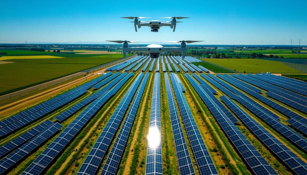
The team used Pix4D, Global Mapper, and AutoCAD Civil 3D to process data. They created a true color orthomosaic image with 1-foot contours. This detailed visual aids efficient installation planning and maintenance management.
Monitoring Coastal Erosion and Shoreline Changes
Drones are invaluable for monitoring coastal erosion and tracking shoreline changes. Regular drone surveys help gather precise data on erosion rates and extent. Environmental agencies use this information for coastal management.
| Location | Drone Model | Key Findings |
|---|---|---|
| California Coast | DJI Phantom 4 RTK | 2.5 meters of shoreline retreat over 6 months |
| Florida Keys | senseFly eBee X | Significant beach narrowing due to erosion |
| North Carolina Outer Banks | DJI Matrice 300 RTK | Dune system migration inland by 10 meters |
The table shows alarming coastal erosion rates across the United States. This data is crucial for developing effective coastal management strategies. It informs decisions about infrastructure planning and environmental conservation efforts.
“Drones have revolutionized the way we monitor and understand our changing coastlines. The detailed data they provide is essential for protecting these fragile ecosystems and the communities that depend on them.”
Drone mapping services provide a clear picture of coastal challenges. They help us work towards sustainable solutions for the future. This technology is reshaping how we protect our shorelines.
The Future of Drone Mapping Services
Drone technology is rapidly evolving, making mapping services more promising. Drones now cover vast areas efficiently and collect high-quality data. The combination of drones with IoT and big data analytics is transforming industries.
Advancements in Autonomous Navigation and AI
Autonomous navigation is a key development in drone mapping. Drones can now cover large areas in hours, a task that once took weeks. Advanced software tools quickly process and analyze collected data.
AI is revolutionizing the drone mapping industry. AI algorithms analyze vast amounts of drone-collected data, spotting patterns humans might miss. This technology enables more accurate decision-making in agriculture, construction, and land management.
Integration with Other Technologies like IoT and Big Data Analytics
Combining drone mapping with IoT and big data analytics enables real-time monitoring and predictive maintenance. This integration provides a comprehensive view of assets and operations. It allows for proactive decision-making and better resource allocation.
| Technology | Benefits |
|---|---|
| Autonomous Navigation | Efficient coverage of large areas, reduced time and labor |
| Artificial Intelligence | Accurate data analysis, pattern recognition, enhanced decision-making |
| Internet of Things | Real-time monitoring, predictive maintenance, optimized resource allocation |
| Big Data Analytics | Comprehensive insights, proactive decision-making, improved efficiency |
The future of drone mapping promises more detailed visualizations and efficient coverage. AI-driven data analysis will continue to improve. These advancements will help businesses make better decisions and optimize their operations.
FAA Regulations and Compliance for Commercial Drone Operations
Commercial drone operations must follow FAA rules for safety and compliance. The FAA limits most commercial drones to 55 pounds. Heavier drones need special registration. Flights must stay below 400 feet for airspace safety.
Drone pilots need a Part 107 certificate for commercial work. They must create a business account on FAA DroneZone. This allows assigning roles like “Part 107 Administrator” or “Inventory Manager”.
Setting up an account involves creating a profile and registering drones. Drone makers can find info on Remote ID and Operations Over People requirements.
The FAA reviews environmental impacts under NEPA. There are three review levels: CATEX, EA, and EIS. The FAA has a Desk Reference for UAS Environmental Review.
Public involvement is key in environmental reviews. The FAA Reauthorization Act of 2024 requires a Community Collaboration Program. This program aims to improve community engagement in airspace integration.
Duncan-Parnell offers expert guidance on FAA rules for drone mapping services. They have 75 years of experience. Staying informed and engaging with communities helps drone operators work legally and responsibly.
