Advanced Drone Software Solutions for Today’s Pilots
Drone technology is rapidly evolving beyond just hardware. Advanced software solutions are now essential for optimizing aerial devices. These tools help pilots enhance flights, process data, and create detailed 3D models.
Software also enables training for real-world scenarios. As drones transition from hobbies to vital tools across industries, sophisticated programs become crucial.
The drone software market offers various options for specific needs. Industry giants like Pix4D and DroneDeploy are known for advanced mapping capabilities. Specialized solutions include ESRI Drone2Map and DJI Terra.
Litchi, an affordable and user-friendly option, is popular among hobbyists and professionals. Its intuitive mission planning features make it a top choice.
Training software is vital as demand for commercial drone pilots grows. In the US, pilots must obtain a Part 107 license. Tools like Zephyr Drone Simulator offer realistic flight experiences.
These simulators provide comprehensive training modules to develop necessary skills. AI integration in drone software expands possibilities for autonomous flight and data analysis.
Staying informed about the latest software solutions is crucial for pilots. Choosing the right software can unlock a drone’s full potential. Consider compatibility, user-friendliness, and integration with existing workflows.
Drones have diverse applications across industries like agriculture, construction, and inspections. The future of drone operations relies heavily on advancements in software technology.
Key Takeaways
- Drone software is crucial for optimizing flights, processing data, creating 3D models, and training for real-world scenarios.
- Industry leaders like Pix4D and DroneDeploy offer advanced mapping and modeling capabilities.
- Specialized solutions like ESRI Drone2Map and DJI Terra cater to specific industries and drone models.
- Training and simulation software, such as the Zephyr Drone Simulator, help aspiring pilots develop necessary skills.
- Integration of AI in drone software expands possibilities for autonomous flight and advanced data analysis.
The Importance of Drone Software in the Growing Industry
The drone industry is booming. In the US, commercial drones are set to increase from 42,000 in 2017 to 352,200 by 2023. The FAA has registered over 863,700 drones as of late 2023.
The commercial drone market was worth $1.6 billion in 2022. It’s expected to reach $1.8 billion by 2023. The market has a projected CAGR of 38.97% from 2022 to 2027.
This growth is fueled by drone adoption in agriculture, construction, and aerial photography.
Exponential Growth of the Drone Industry
The demand for commercial drone pilots is soaring. Over 331,570 people have earned a Remote Pilot Certificate as of late 2023. Drone-related job postings have increased by more than 200% between 2021 and 2023.
Diverse Applications of Drone Technology
Drones are used in many sectors. Aerial photography and videography make up 34% of commercial drone services. The agricultural drone sector is expected to grow at a CAGR of 22.94% from 2022 to 2028.
Construction, industrial inspections, and real estate also use drones. These industries aim to improve efficiency and reduce costs with drone technology.
The Role of Software in Unlocking Drone Potential
Drones excel at aerial data capture. However, advanced software solutions unlock their true potential. Drone software optimizes flights, processes data, and produces actionable insights.
As the industry grows, innovative software will be crucial. It will drive the sector forward and open new possibilities for drone technology applications.
Mapping and Modeling: Industry Leaders
Pix4D and DroneDeploy are top drone mapping software platforms. They’ve changed how pilots capture, process, and analyze aerial data. These tools create accurate maps and 3D models for various uses.
Pix4D: Photogrammetry and 3D Mapping Powerhouse
Pix4D is known for its advanced photogrammetry and 3D mapping features. It turns aerial images into detailed, georeferenced maps and 3D models. Pix4D uses cutting-edge algorithms to help professionals make data-driven decisions.
Pix4D’s strength lies in its versatility. It offers tailored solutions for surveying, construction, agriculture, and conservation. The software streamlines workflows with features like automatic point cloud generation.
DroneDeploy: Cloud-Based Mapping and Analysis
DroneDeploy offers a cloud-based platform that’s easy to use. Users can quickly create high-resolution maps and 3D models. The software doesn’t require extensive technical knowledge.
DroneDeploy’s robust cloud infrastructure is a standout feature. It processes large volumes of data efficiently, even for complex projects. The platform’s user-friendly tools make it accessible to professionals from various fields.
“The 3D Mapping and Modeling Market is projected to grow from USD 5.4 billion in 2023 to USD 11.8 billion by 2028, at a Compound Annual Growth Rate (CAGR) of 17.2%, according to Markets and Markets.”
Pix4D and DroneDeploy are essential tools in agriculture, construction, and mining. These software solutions drive innovation in drone technology. They empower professionals to unlock the full potential of aerial mapping.
Specialized Mapping Software Solutions
Several specialized software options cater to specific needs within the drone industry. These tailored solutions provide pilots and businesses with essential tools. They help users excel in their respective fields.
ESRI Drone2Map: Integration with ArcGIS Ecosystem
ESRI Drone2Map integrates with the powerful ArcGIS ecosystem. It offers advanced geospatial analysis and mapping capabilities. This software is ideal for professionals familiar with ArcGIS.
Users can process drone imagery and create detailed 3D models. They can also perform complex spatial analysis within the ArcGIS environment.
DJI Terra: Mapping and Modeling for DJI Drones
DJI Terra is designed specifically for DJI drones. It offers a user-friendly interface and powerful tools for creating maps. The software is optimized for DJI hardware and integrates with their flight planning software.
Features include real-time 3D point cloud rendering and centimeter-level accuracy. DJI Terra is popular in construction, agriculture, and surveying industries.
Litchi: Affordable and User-Friendly Mapping Option
Litchi is an affordable mapping software popular among hobbyists and professionals. It offers autonomous flight planning, waypoint navigation, and real-time data streaming. Litchi is compatible with various drones, making it versatile.
While it may lack some advanced features, Litchi balances functionality and affordability. This makes it attractive for users on a budget.
| Software | Key Features | Pricing |
|---|---|---|
| ESRI Drone2Map | Integration with ArcGIS, advanced geospatial analysis | Contact for pricing |
| DJI Terra | Designed for DJI drones, centimeter-level accuracy | $1,299 per year |
| Litchi | Affordable, user-friendly, compatible with various drones | $24.99 one-time purchase |
Consider compatibility with your drone hardware when choosing mapping software. Also, think about integration with existing workflows and required features. The right software can help you deliver exceptional results for clients.
Drone Software for Mission Planning and Autonomous Flight
Drone mission planning software has transformed how pilots approach their flights. It offers advanced features for autonomous flight and waypoint missions. These tools allow users to pre-program drones for specific routes and tasks with minimal human input.
Waypoint missions are a key feature of many drone planning platforms. Pilots can set coordinates for their drone to navigate autonomously. Drone Harmony lets users plan missions quickly, saving time.
Users can design linear or path waypoint missions. They can also choose grid missions for comprehensive coverage of their operation area.
Some software includes virtual reality mode for an immersive flying experience. Pilots can control drones remotely using a keyboard and mouse. This provides a unique perspective and better situational awareness.
Some platforms offer access to live HD and thermal video feeds. This enables real-time monitoring and analysis of drone missions.
| Feature | Benefit |
|---|---|
| Automated mission scheduling | Streamlines operations and ensures consistent data capture |
| Customizable waypoint actions | Optimizes missions for specific tasks and objectives |
| Collision avoidance capabilities | Enhances safety and navigates around obstacles |
| Integration with external systems | Seamlessly incorporates CAD, emergency response, and traffic apps |
Autonomous flight and mission planning software offer significant efficiency gains. Lead Design Engineer Patrick Holtewes notes a dramatic time reduction in tower inspections. A drone can complete the task in 20 minutes, compared to 2-3 hours for manual inspection.
Training and Simulation Software
The drone industry is booming, and skilled pilots are in high demand. Drone training software and flight simulators help aspiring pilots improve their skills. These tools offer a safe environment to practice maneuvers and plan missions.
Pilots can familiarize themselves with various drone models in controlled settings. This preparation is crucial for both commercial and recreational drone operations.
Zephyr Drone Simulator: Realistic Flight Experience
The Zephyr Drone Simulator stands out in drone training software. It offers a realistic flight experience for Windows PC and Mac users. Pilots can try it free for 30 days to test its capabilities.
With Zephyr, pilots practice flying in different environments and scenarios. This prepares them for real-world challenges in drone operations.
Comprehensive Training Modules for Skill Development
The droneSimPro Flight Simulator is another option for Windows PC and Mac. It features customizable environments and three popular drone models: Phantom 2, 3, and 4.
DRL’s SIM 3.0 is ideal for FPV racing enthusiasts. It’s based on extensive testing, with a vast database of drone combinations.
FPV Air 2 Simulator caters to beginners and intermediate FPV drone pilots. It offers a multiplayer mode for racing and competing with friends.
Intellia Drone View allows instructors to monitor trainees in real-time from multiple viewpoints. It enhances safety training with dynamic obstacles and realistic scenarios.
Pilots can choose from various training software to fit their needs and skill level. Regular practice with these tools builds confidence for real-world drone operations.
Emerging Trends in Drone Software Development
The drone industry is evolving rapidly. Software developers are pushing the limits of drone technology. A key trend is integrating artificial intelligence (AI) into drone operations.
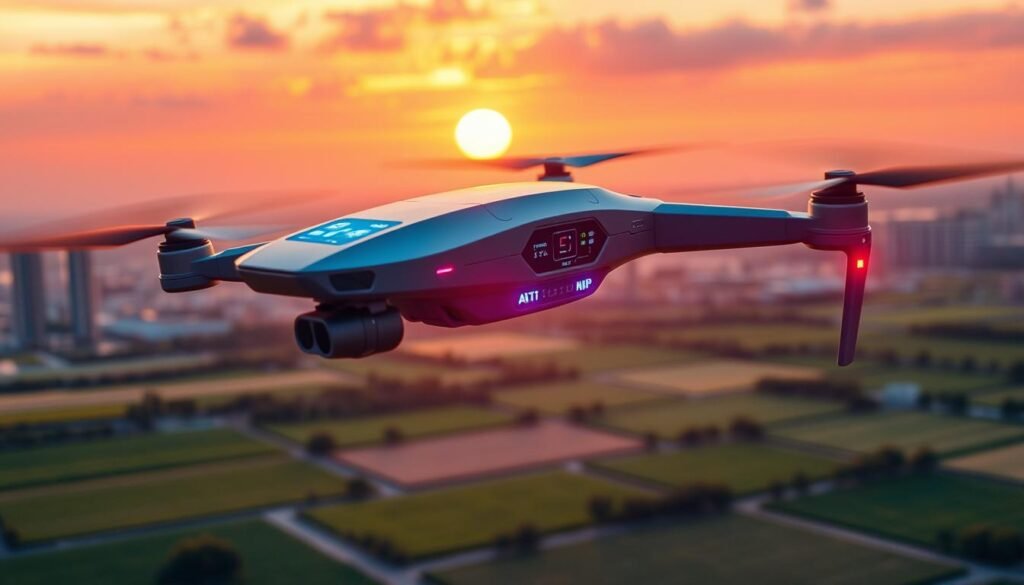
AI-powered drone software is changing how drones navigate. It uses advanced computer vision and machine learning. This allows drones to make smart decisions in real-time.
Integration of Artificial Intelligence (AI) in Drone Operations
AI in drone software enables various applications. These include autonomous delivery, inspection, precision agriculture, and search and rescue missions.
Here are key areas where AI is making a big impact:
- Autonomous navigation: AI algorithms allow drones to operate without human control. This improves efficiency in challenging environments and complex missions.
- Obstacle avoidance: Computer vision and sensor fusion help drones detect and avoid obstacles. This ensures safer and more reliable flights.
- Object recognition: AI can identify and classify objects in real-time. This allows drones to track targets, inspect infrastructure, and monitor wildlife.
Various programming languages and frameworks drive AI-powered drone software development. Here are some popular ones:
| Language/Tool | Application |
|---|---|
| Python | Data processing, machine learning, computer vision |
| C/C++ | Flight controllers, real-time systems |
| Java/Kotlin | Android-based drone control apps and user interfaces |
| Swift | iOS-based drone control apps |
| PX4 Autopilot | Real-time flight control, sensor fusion, obstacle avoidance, mission planning |
| ArduPilot | Autonomous flight, mission planning for various drone types |
| DroneKit | Python library for simplified drone programming |
| DJI SDK | Software development kit for DJI drones |
| AirSim | Open-source simulator for testing and developing drone software |
The global drone market is expected to reach $54.6 billion by 2030. This growth will increase demand for advanced drone software solutions.
AI integration in drone operations will be crucial. It will unlock new possibilities and drive innovation in the field.
Essential Drone Apps for Enhanced Operations
Drone technology is rapidly evolving. The right apps can make a huge difference in flight success and safety. These essential drone apps boost operations and maximize your aerial adventures.
Aloft (formerly Kittyhawk): All-In-One Drone Operations App
Aloft, previously Kittyhawk, is a top choice for drone pilots. It offers flight planning, live telemetry, and detailed logging in one platform. Aloft ensures regulatory compliance and simplifies operations for professionals and hobbyists alike.
UAV Forecast: Weather Predictions for Safe Flights
Weather greatly impacts drone flight safety and success. UAV Forecast provides detailed weather info for drone operations. It analyzes wind speed, temperature, and visibility to help you choose the best flying times.
This app’s user-friendly interface and reliable data make it essential for all drone pilots.
| App | Usage Rate | Key Features |
|---|---|---|
| DJI GO | 72% | Comprehensive interface, live video feeds, intelligent flight modes |
| Litchi | 48% | Virtual reality mode, panorama shooting, extends DJI drone capabilities |
| AirMap | 56% | Real-time airspace mapping, compliance with no-fly zones and temporary flight restrictions |
| B4UFLY (FAA) | 38% | Airspace status checks, alerts for nearby restricted areas |
DJI Go: Official App for DJI Drone Pilots
DJI Go is crucial for DJI drone pilots. It offers smooth control and monitoring of your drone’s flight. The app provides real-time camera view, flight data, and smart flight modes.
DJI Go helps capture stunning aerial footage and boosts creativity. It’s perfect for beginners and pros using DJI drones.
Approximately 78% of drone operators believe that the integration of software and apps into their workflow has significantly enhanced their piloting skills and photographic outcomes.
These essential apps can take your drone operations to new heights. Aloft helps with careful flight planning. UAV Forecast provides accurate weather info. DJI Go offers intuitive control.
Together, these apps form a powerful toolkit for every drone pilot. They enhance safety, efficiency, and creativity in your drone operations.
Choosing the Right Drone Software
The drone industry is booming. It’s expected to create over 100,000 jobs by 2025. Picking the right software is key to maximizing your drone operations. Important factors include software compatibility, user-friendly interface, and workflow integration.
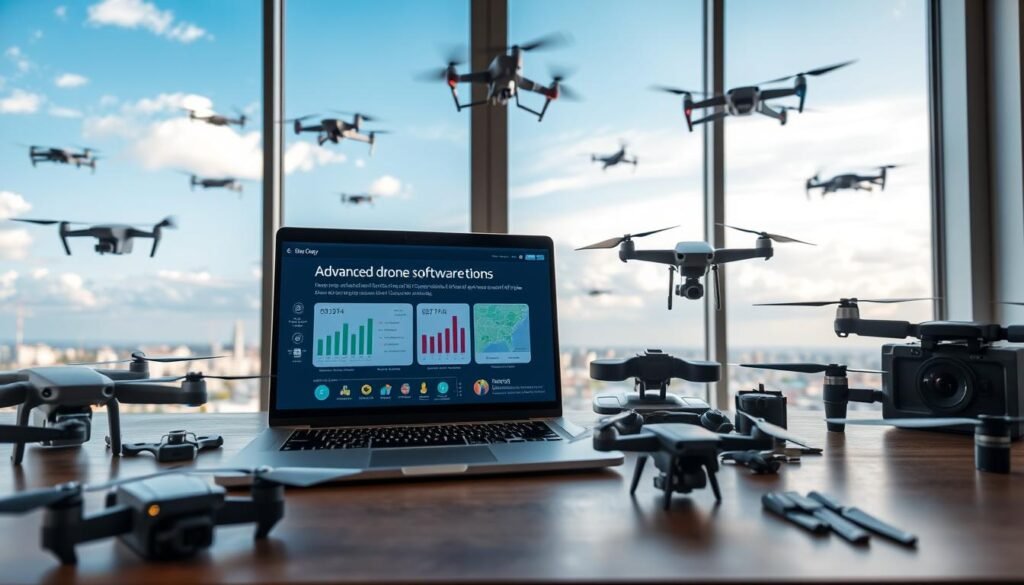
Assessing Your Specific Needs and Objectives
First, think about your needs and goals. Do you need mapping and surveying tools? Or do you need advanced mission planning features? Knowing your goals helps narrow down your software choices.
Compatibility with Your Drone Model
Make sure the software works with your drone model. Not all software is compatible with every drone. Some manufacturers have their own software. For example, DJI Terra is made for DJI drones.
It offers features like terrain modeling and volumetric analysis. Check if the software you want supports your drone before buying.
User-Friendliness and Learning Curve
Easy-to-use software can boost your productivity. Look for intuitive interfaces and helpful tutorials. Some options, like Litchi, are affordable and user-friendly.
These can be great for beginners or those on a budget. The right software can make your drone experience smoother.
| Software | Key Features | Compatibility |
|---|---|---|
| Pix4Dmatic | Fast processing, scalability for large datasets | Multiple drone models |
| DJI Terra | Terrain modeling, volumetric analysis, vegetation mapping | DJI drones |
| Agisoft Metashape | Photogrammetric processing, multiple reconstruction methods | Various drone models |
Integration with Existing Workflows and Software
Think about how the drone software fits with your current tools. Good integration can make your work smoother. ESRI Drone2Map works well with ArcGIS software.
If you already use ESRI’s GIS software, this could be a great choice. It can help streamline your processes.
Drone mapping technology offers benefits such as increased efficiency, enhanced accuracy, improved safety, increased accessibility to remote areas, improved data collection capabilities, and the ability to capture high-quality aerial images.
Take time to evaluate your needs and software options. Check for compatibility and user-friendliness. Consider how it fits into your workflow.
These steps will help you find the best drone software. The right choice can unlock your drone’s full potential.
Future of Drone Software: Predictions and Possibilities
The drone industry is taking off, and drone software’s future looks bright. New tech in data analysis and app development opens up exciting possibilities. As more industries use drones, the need for smart software solutions grows.
The drone software market is set to boom. In 2023, it was worth $4.5 billion. Experts predict it will grow 20% yearly until 2030. By 2028, it could reach $32.94 billion. AI, machine learning, and automation drive this growth.
Electric vertical takeoff and landing (eVTOL) drones are changing urban transport. They could bring flying taxis, delivery services, and better emergency response to cities. Drone swarms are another exciting development. They can handle big jobs efficiently.
Drones are also transforming farming. They use sensors and AI to collect data on crops and soil. This helps farmers make smarter decisions. As drones become more common, we need clear rules and safety measures.
The industry must focus on cybersecurity to protect sensitive data. Working together, stakeholders can solve challenges and unlock drones’ potential. Soon, drones could play a big role in our daily lives.
Conclusion
Advanced drone software is essential for today’s pilots. It unlocks the full potential of aerial platforms. These solutions revolutionize drone operations across various industries.
Pix4D and DroneDeploy lead in photogrammetry and 3D mapping. ESRI Drone2Map and DJI Terra cater to specific niches. AI and machine learning enable drones to adapt and make intelligent decisions.
Pilots must stay informed about the latest software advancements. Choosing the right solutions aligns with specific needs and objectives. This enhances efficiency, accuracy, and overall performance in drone operations.
The future of drone software is promising. New applications and technologies continue to emerge. Drone software will play a crucial role in shaping the industry’s future.
Embracing innovative solutions keeps pilots at the forefront. This positions them for success in the rapidly growing drone field. The possibilities for drone software are endless and exciting.
